
Trusted Aerial Mapping Services in North Battleford

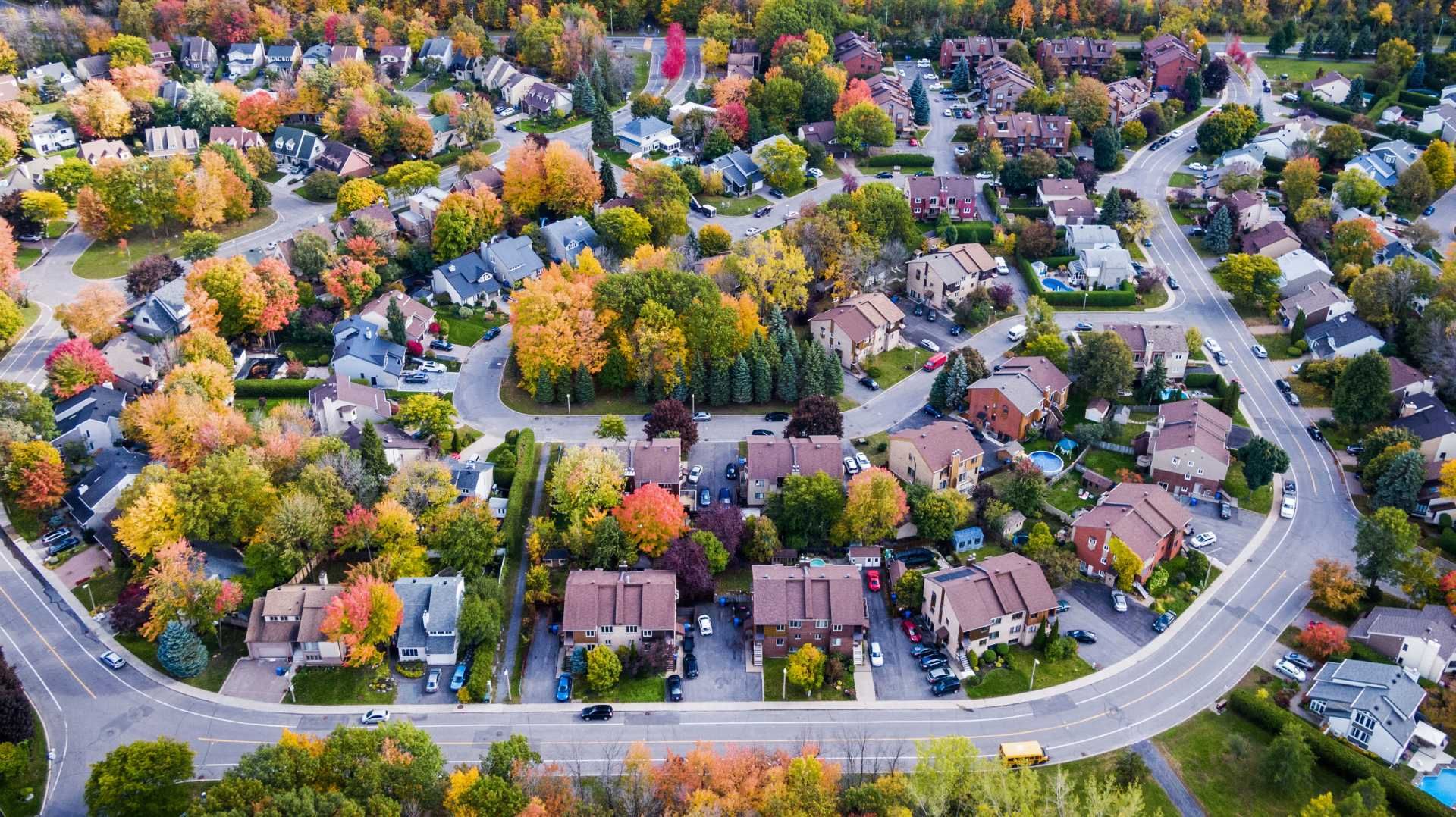
Aerial mapping is quite simply taking multiple photographs from the sky to allow the making of detailed maps and provide a geological understanding of a designated area. With the continued enhancement of drone abilities, aerial mapping provides high quality and precise photographs and 3D models of a geographical area. Real estate, construction agriculture and many other sectors are provided with the ability to make more informed decisions.
SureShot Drones Services uses Drone Deploy, Maps Made Easy, and Pix4D to map large areas of land in a cost-effective and short period of time. This software quickly and easily puts together an extensive survey of land, buildings and infrastructure, presenting it in geo-referenced images that can be imported to most CAD supported software.
Write to us now, please click here to view our video.
